Getting Lost in the Best Way: A New Hiker’s Guide to Gatineau Park Maps (and Where to Find Them)
What's a good hike without a good map? You may have seen some of the recent maps of Gatineau Park, but did you know there are many that go back decades? Mapping out the park's trails and ski paths has been a past-time for many for a long, long time.
Why Use a Map in Gatineau Park?
Whether you're planning a relaxed Sunday stroll around Pink Lake or a sweat-inducing hike up the Wolf Trail from P13, having a map is essential.
Here’s why:
Cell signal is spotty (especially in the deep woods).
Trail intersections can be confusing, especially for beginners.
Where to Find the Good Stuff: Maps Galore
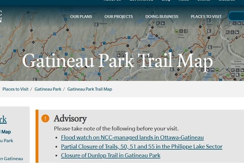
1. The Official Trail Maps (Current & Free!)
The National Capital Commission (NCC) has your back. They offer seasonal trail maps (PDF format) tailored to hiking, skiing, snowshoeing, and biking.
🔗 Download trail maps from the NCC here
Bonus: There’s also an interactive trail map if you prefer to explore on-screen.
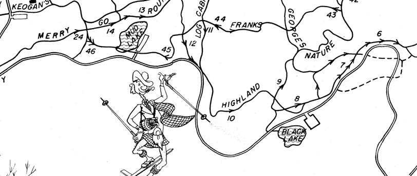
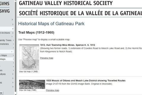
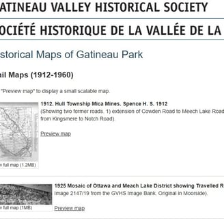
2. The Secret Goldmine: Historical Maps (For the Nerd in You)
Want to hike like it’s 1965? Or see what the park looked like before your parents were born? The Gatineau Valley Historical Society (GVHS) has over 450 digitized maps and documents dating back to 1912.
Yes, this is for map geeks and curious minds alike.
🔗 Browse the full historical map archive here
🔗 Check out old-school trail maps (1960–1990)
Quick Tips for New Hikers in Gatineau Park
Start small: Try beginner-friendly trails like King Mountain or Pink Lake.
Print your map or download it offline before you go.
Bring water, snacks, and a bit of bug spray (trust us on this).
Leave no trace: Take only memories (and photos), leave only footprints.
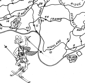
Bonus Fun: Use Historical Maps to Plan a "Retro Hike"
Here’s a quirky idea: choose an old trail map from the 1970s, compare it with today’s map, and try to recreate the route. It’s like time-travel, but with better shoes and fewer polyester shorts.
Happy Hiking!
Adventuresh
Your Outdoor Adventure Guide for Gatineau Hills Adventures
© 2025. All Rights Reserved.